How to Use the Seoul Subway: Lines, Transfers & Apps (2026 Guide)
Table of Contents
With a T-money card loaded and ready, the subway itself is where most first-time visitors still feel unsure — not because the fare system is complicated, but because the map looks overwhelming at first glance. Seoul's subway and wider metropolitan rail network includes more than 20 lines once you count Korail commuter lines and the airport line, and that density is exactly what makes the map intimidating on first look. This guide breaks down how to actually read the system, find the right exit, and move through it without the anxiety.
Understanding Seoul's Line System
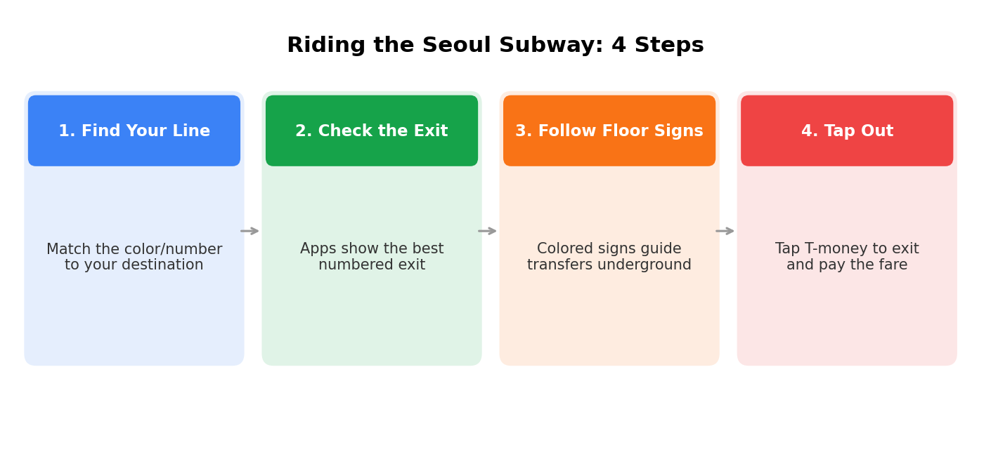
The good news first: fares, transfers, and transit cards are unified across the entire network, regardless of which company operates a given line. You tap in, you tap out, and the fare is calculated automatically — you never need to know or care which operator runs a particular stretch of track.
Each line is color-coded and numbered, and most tourist itineraries only really touch a handful of them. Line 2 is often called the city's "tourist super-line" since its loop passes through Hongdae, Gangnam, Seongsu, and Jamsil. Line 3 connects Gyeongbokgung Palace, Insadong, and Bukchon Hanok Village, while Line 4 runs through Myeongdong and connects toward Namsan. Rather than trying to memorize the full map, it's usually easier to identify the one or two lines that connect your accommodation to the neighborhoods you'll visit most, then build your sense of the system outward from there.
Exits, Transfers, and the Apps That Help
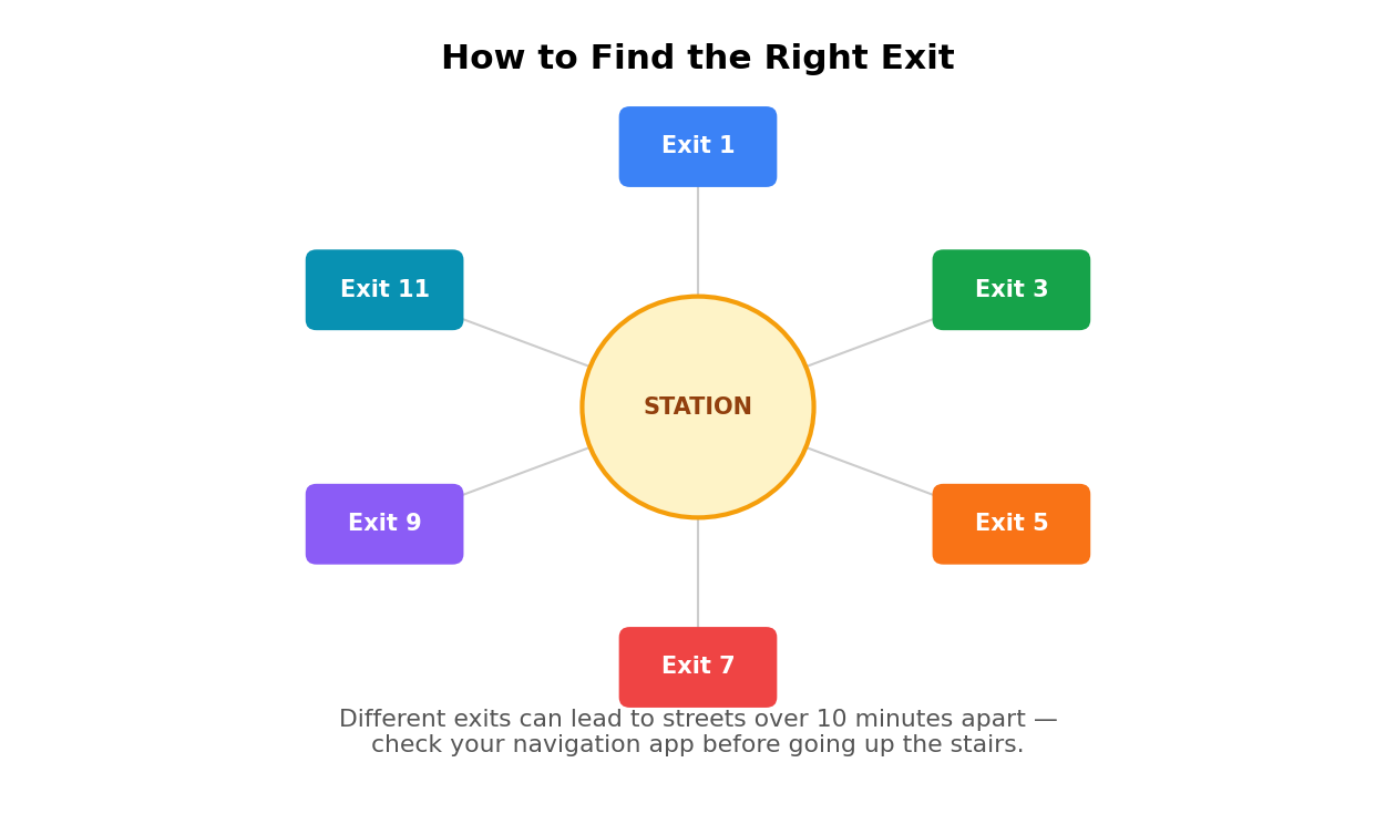
Station exits are numbered, and picking the right one matters more than it might seem — some stations have over a dozen exits leading to completely different streets, and the difference between the correct exit and the wrong one can be a 15-minute walk instead of a 2-minute one. This is where locals default to a habit worth adopting immediately: directions in Korea are commonly given by exit number, so "meet at Exit 10" is a completely normal instruction, not an unusually precise one.
For detailed local navigation in Korea, Naver Map and Kakao Map are often more useful than Google Maps, particularly for subway exits, local addresses, and public transit routing — most residents and long-term visitors default to one of these two once switched to English in the settings menu. Dedicated subway apps go a step further: some show which car to board so that when you arrive at your transfer station, the stairs or escalator are right in front of you instead of at the far end of a long platform.
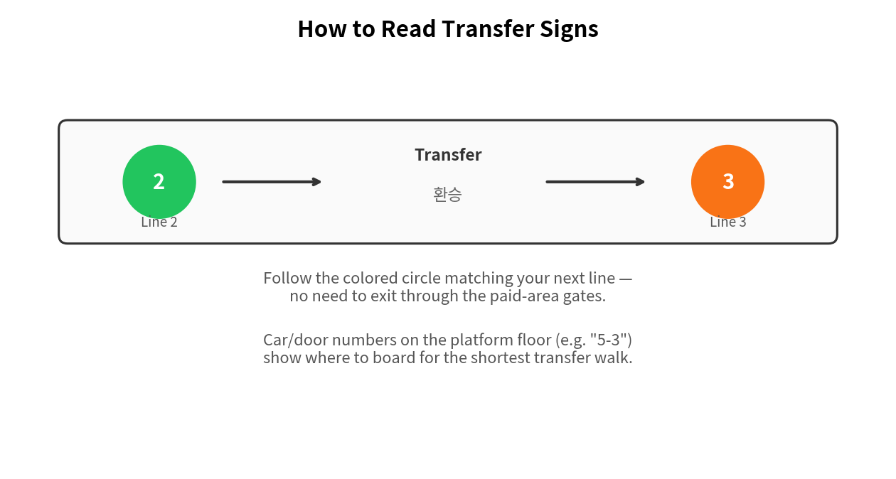
Transfers themselves work smoothly as long as you stay inside the paid area. When transferring between subway lines inside the paid area, you normally don't pay a new base fare — follow the transfer signs without exiting through the station gates, though distance-based or line-specific additional fares may still apply on certain routes. You simply follow the colored floor signs toward your next line's colored circle. Some transfers are a quick 50-meter walk; others, particularly at major hubs like Seoul Station or Express Bus Terminal, involve a genuinely long underground walk between platforms.
| Major Transfer Hub | Lines |
|---|---|
| Seoul Station | Line 1, Line 4, AREX (Airport Railroad), KTX |
| Jongno 3-ga | Line 1, Line 3, Line 5 |
| Dongdaemun History & Culture Park | Line 2, Line 4, Line 5 |
| Express Bus Terminal | Line 3, Line 7, Line 9 |
Rush Hour Etiquette
Lines 2, 9 (Express), and 1 through Seoul Station get genuinely crowded during morning and evening rush hour. A few habits make the experience much smoother for everyone, including you. Let passengers exit before you board — this isn't a suggestion so much as an unspoken rule, and stepping in early tends to draw irritated looks. Once inside, moving toward the center of the car usually means more breathing room, since most riders instinctively cluster near the doors.
Priority seats near the ends of each car are reserved for elderly, pregnant, or disabled passengers. These seats should be left available for those passengers, especially when they may need them — even an empty priority seat on a packed train is generally left open out of courtesy. If you'd rather avoid the worst of it entirely, traveling between 10 AM and 4 PM tends to mean noticeably quieter trains, especially on lines away from the busiest commuter corridors.
The Seoul subway looks intimidating on a map and feels completely different once you've ridden it a few times. Learn your main line, trust the apps for exits and transfers, and the rest of the system opens up faster than most visitors expect.
FAQ
Do I need to know which company operates a subway line?
No. Fares, transfers, and transit cards are unified across Seoul's entire subway network, regardless of which operator runs a specific line. You simply tap in and tap out.
How do I know which exit to use?
Navigation apps like Naver Map or Kakao Map typically recommend the optimal numbered exit for your destination. Since some stations have a dozen or more exits, checking in advance can save a significant amount of walking.
Do I have to pay again when transferring between lines?
Usually not. When transferring between subway lines inside the paid area, you normally don't pay a new base fare — just follow the transfer signs without exiting through the station gates. That said, distance-based or line-specific additional fares can still apply on certain routes.
What time does the subway stop running?
Most lines run from roughly 5 AM to midnight, though last-train times can vary by station and direction, especially on outer sections of the network. Checking your subway app before a late trip is a safe habit.
Korea Tourism Organization (VISITKOREA) — Transportation Guide
Seoul Metropolitan Government — Transportation Guide
Line numbers, operating hours, and station details may change — always confirm current information in your navigation app before traveling.